Preloaded U.S. LakeVü g3 maps and BlueChart® g3 charts
Full networking capabilities to build your marine system; network sharing allows you to share data among all compatible units connected to the network
Supports optional sonar modules, including Panoptix™ all-seeing sonar
Add free all-in-one ActiveCaptain™ app to manage your marine experience from nearly anywhere
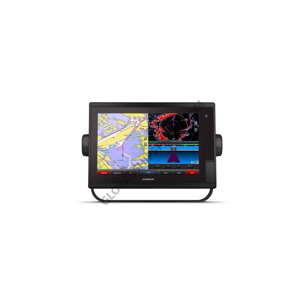
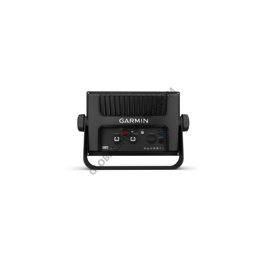
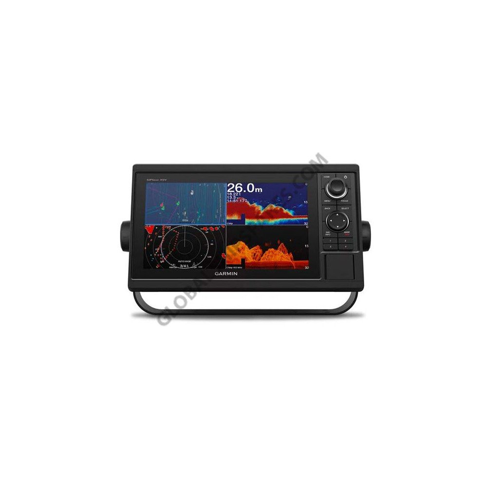
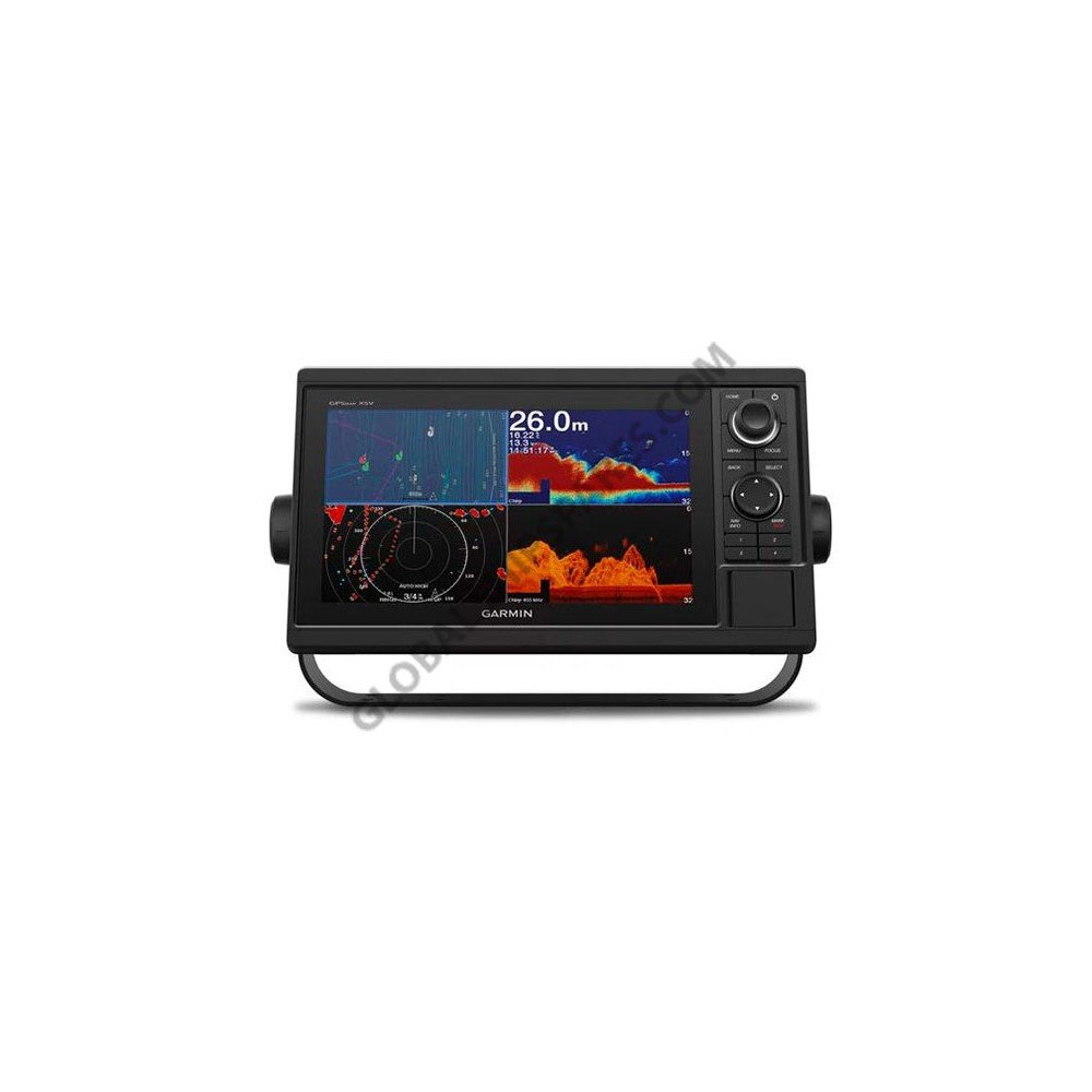
Step up to a 12” touchscreen chartplotter with the GPSMAP 1242 Touch. Ideal for coastal cruisers, it includes preloaded BlueChart g3 charts and LakeVü g3 maps with market-leading features such as Depth Range Shading and Shallow Water Shading. It features full networking capabilities to build your marine system with radar, autopilot, sonar modules, instruments and sensors. It also supports FLIR cameras, GRID™ keypad, GXM™ 54 marine weather receiver, FUSION-Link™ audio system, VIRB® camera streaming and more. Network sharing allows you to share data among all compatible units connected to the network. Built-in Wi-Fi® supports the ActiveCaptain app.